Hiking Snow Mountain - the 2nd Highest Peak in Taiwan
Preparation: 2020-Apr-07
Hiking does not usually come to mind when talking about Taiwan. Indeed, its reputation as a hiking destination is rather slim if non-existent outside Taiwan and its neighbors. Though Internet search nowadays does reveal some information, it pales in comparison to the countries with more popular backcountry hiking culture. Not surprisingly little did we know about Taiwan before coming here. The story, an intriguing one, on how we ended up in Taiwan you can read here [link]. We were genuinely happy and frankly amazed to learn that Taiwan had more than two hundred peaks over 3000 m high. In fact, there are nine National parks with a large network of trails to keep an avid hiker entertained for days, even weeks at a time. Wilderness huts are available on all major trails and are well maintained. Permits, however, can be difficult to get due to the limited quota of beds available in each hut. Foreign visitors (those lucky few) can apply for a permit on a weekday in a foreigners queue 35 days in advance. Most trails allocate a certain number of permits to foreign tourists making it easier to obtain one.
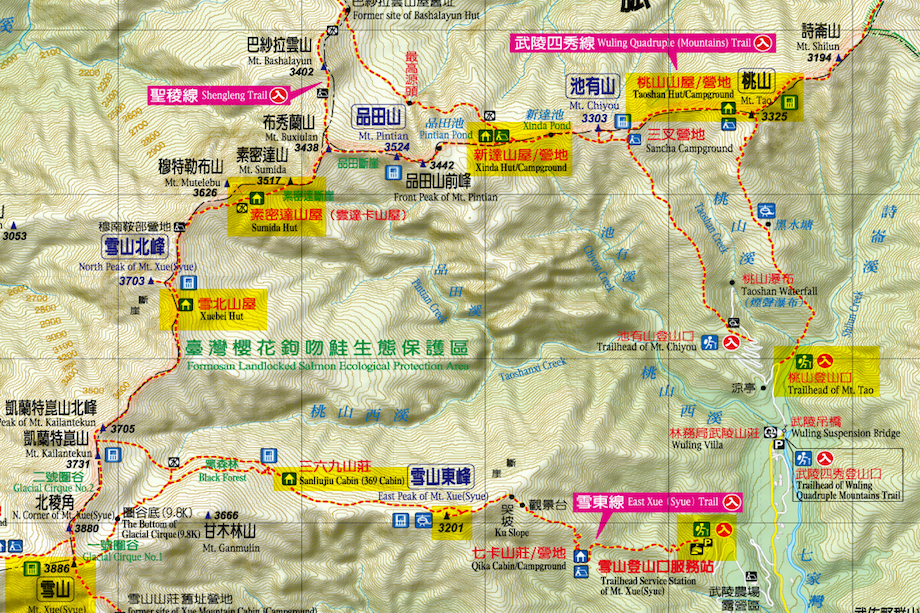
Once we knew that we were in a hiking paradise (yes! Taiwan fully deserves this description), our next step was to decide on the hike. After an exhaustive research, we decided on a 6-days Shandling trail via Holy Ridge backpacking in Shei-Pa National Park. With some trial and error it took us half a day to submit our permit. (* footnote) The good news is that once you figure it out once, applying for any future permit is a breeze. The most important part was to select the correct route and huts with availability for each camping night. Shendleng trail has multiple entry points and overnight huts along the route. In fact, Shei-Pa NP has a myriad of different trails with some excellent multi-day routes. If that was not complicated enough, the names of huts and mountain peaks are transliterated in many different ways. It took us some time to understand that Suye, Sueshan, Xueshan, Xue* - all meant the same thing. The last step was to select the entry point and the direction of the route that had availability in the huts (*footnote - campsites require availability). Since, we were making plans in April 2020 - it meant that pandemic was in full swing and most huts operated at half of their usual capacity. In the end we put together a spreadsheet with huts availability and set on tracking Holly Ridge on Apr 6, starting from Snow Mountain trailhead and ending on Apr 11 at Mount Tao trailhead
Luckily April is outside the snow season and we were not required to bring winter safety gear. Or so we thought. Few days after the reservation we received an email with a request to confirm whether we had all the required winter safety gear with us and whether we were familiar with tracking in the snow conditions due to possible snow storms on the ridge. We promptly and affirmatively responded. We had almost no winter gear, but figured it would be simple to rent all we needed, and we were both experienced in winter conditions. All we had to do now was to print the permit and rent the gear. Simple enough it was not. After multiple attempts to print our permit, the system kept throwing an error that it was not found. We called the office and were advised to go directly to the ranger station and someone would assist us there. Gear rental proved problematic as well. The few places we found were all located in Taipei and all were closed on weekends (plan accordingly!). Unfortunately, until Friday, April 3rd we were in quarantine in our apartment in Taipei and could not have ventured out. Friday happened to be a National holiday, followed by the weekend and the start of our hike was on Monday. Thoughts to purchase crampons and ice axes melted away as soon as we saw the prices. Most of the equipment was more expensive than what we paid for similar quality items in the US. One of the employees of the outdoor gear store suggested that the national park email was only precautionary in nature and we would not need the winter gear with us. Without a printed permit and no winter gear we decided to try our luck. What could have gone wrong?..
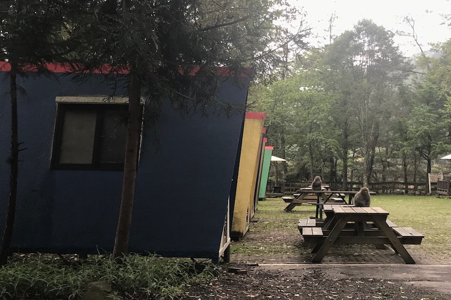
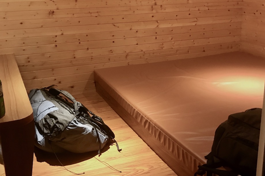
We left Taipei on Sunday afternoon and headed to Wuling Farm (武陵農場). Low visibility due to a thick layer of fog and serpentine mountain road made it rather difficult to drive. It took us four hours before we entered Shei-Pa National park. To our surprise a park ranger greeted us at the gate and provided a tourist map of Wuling Farm once we paid the entrance fee. It was well past 7 pm and pinch dark. The office of the Wuling campground, where we reserved a place to stay for the night, was open. We rented a small wooden cabin, which looked cozy but was rather rustic for its steep price tag of 70 USD per night. It had a large mattress, a tiny bench, outlets and a hairdryer inside. There was a picnic table with an umbrella outside the cabin, helpful when it is raining but less so if the weather is uncomfortably cold. There was no heating inside the cabin. There was a single tent at the whole campground and few cars parked. It was either low season or reverberations of the pandemic…
Day 1: 2020-Apr-08
Xueshan Trailhead @2190 m > Cika hut (Qika,七卡山莊) @2460 m, 1.7 km > Ku Po (“slope of pain”), @3090 m, 2.2 mi > East Xue Mountain Peak @3201 m, 4.63 km > Sanlinju (369, 三六九山莊) hut @3100 m, 7.1 km
We did not sleep well and woke up early. I looked outside the window: Taiwanese rock monkeys were roaming around the campsite. It was my first time seeing a wild monkey and I was ecstatic.
The day promised to be gloomy with showers expected in the afternoon. We checked out and headed to the Wuling Tea House to get breakfast. The menu was limited to tea eggs, rice pockets and buns and two types of tea: hot and cold. The seating area was absolutely beautiful: handcrafted wooden tables and chairs surrounded by the wooden statues depicting local fauna and flora, all bathed in the morning sunshine. The last remaining cherry blossoms offered a glimpse at how stunning this place must have looked just one-two weeks ago when cherry blossoms were in full bloom. Police station, which also serves as a national park ranger station, was conveniently located next to the Tea House. It looked closed when we got there and we even considered proceeding with our hiking plans without a final permit. It would have been a mistake! The permits are fastidiously checked and collected at the trailhead. Luckily, when we were about to leave, a police officer/park ranger opened the door, sprayed our hands with disinfectant, and checked our temperatures (Pandemic was in full rage in most parts of the World by now). He was kind enough to print the permit for us, checked the weather and gave us a trail map. The park ranger mentioned that the weather is expected to get worse at the top, and showers were expected. He told us that snow was not expected and we were not required to carry winter gear. The closest carpark (aka parking lot) to the trailhead was the carpark #1, and he recommended us to park there. The drive was quite steep and it started to drizzle. On our way we saw a hitchhiker - a young Taiwanese woman - and decided to give her a lift. She had just come back from Slovakia on March 13th and had to stay in home quarantine for 14 days. It turned out she was also hiking Snow mountain peak and was staying at Sanlinju (369) hut that night. The virus made it easy to break the ice. We chatted about each other’s experience with quarantine and uncertainty that ensued. One can talk for hours on the subject and still has more to say. Like all Taiwanese we have met so far she loved Taiwan and was genuinely happy to hear that we enjoyed exploring it. There were plenty of free parking spaces. We took our time to change and take pictures. The views from the trailhead were beautiful and far reaching; fog was rolling in. The lady at the Xueshan Trailhead Service Station (2190 m elevation) checked our permits. It was already 11 am when we started the hike. It was a steep climb along the foggy trail right from the trailhead. The views were limited to a few meters due to sick fog. The fresh air and smell of the forest were overwhelming, indulging. After weeks of stress and 14 days of confinement, we were finally in the mountains and that was all that mattered.
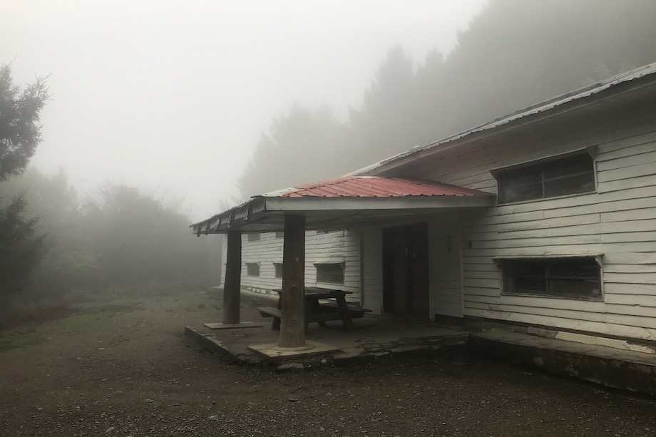
The first hut en route was Cika (or Qika) cabin located just 1.32 km from the trailhead at elevation 2460 m. It’s a rustic cabin with all the basics to meet camper’s needs: bunk beds (bring your own sleeping gear), cooking area, restrooms and even a solar system on the rooftop to provide LED lights in the public areas. If we had to plan the hike again, I would have obtained permits the day before and stayed in Cika hut before continuing to Sanlinju. Not only is it a free accommodation for a night surrounded by subalpine forest, it is also a great basis for acclimatization. I even read someone’s account of spotting a formosan bear on one of the trails near the hut. Alas, we had no luck with bear sightings. It took us 45 min to reach the cabin and what started as a drizzle and a mere nuisance at the start of the trail turned into a pouring rain.
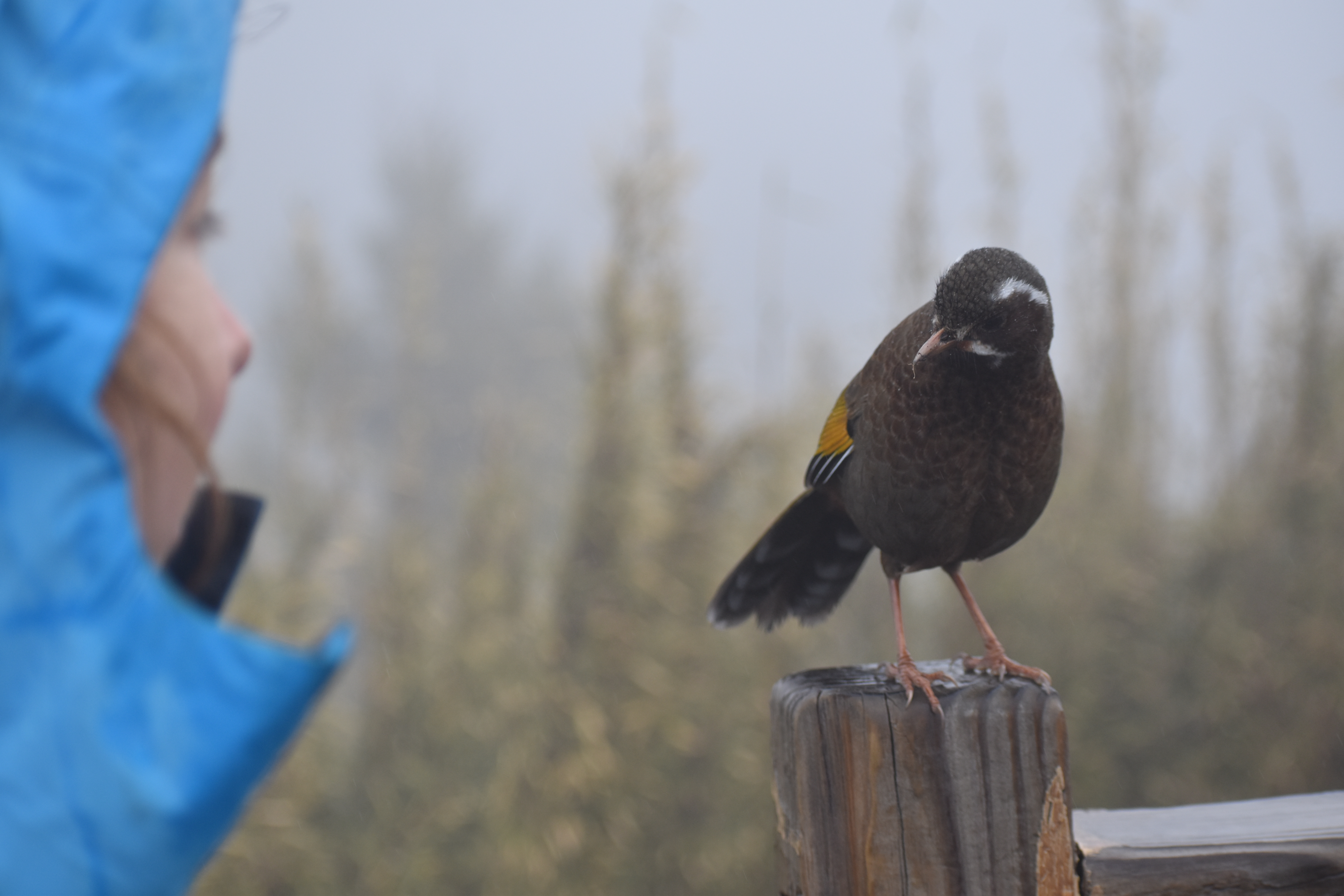
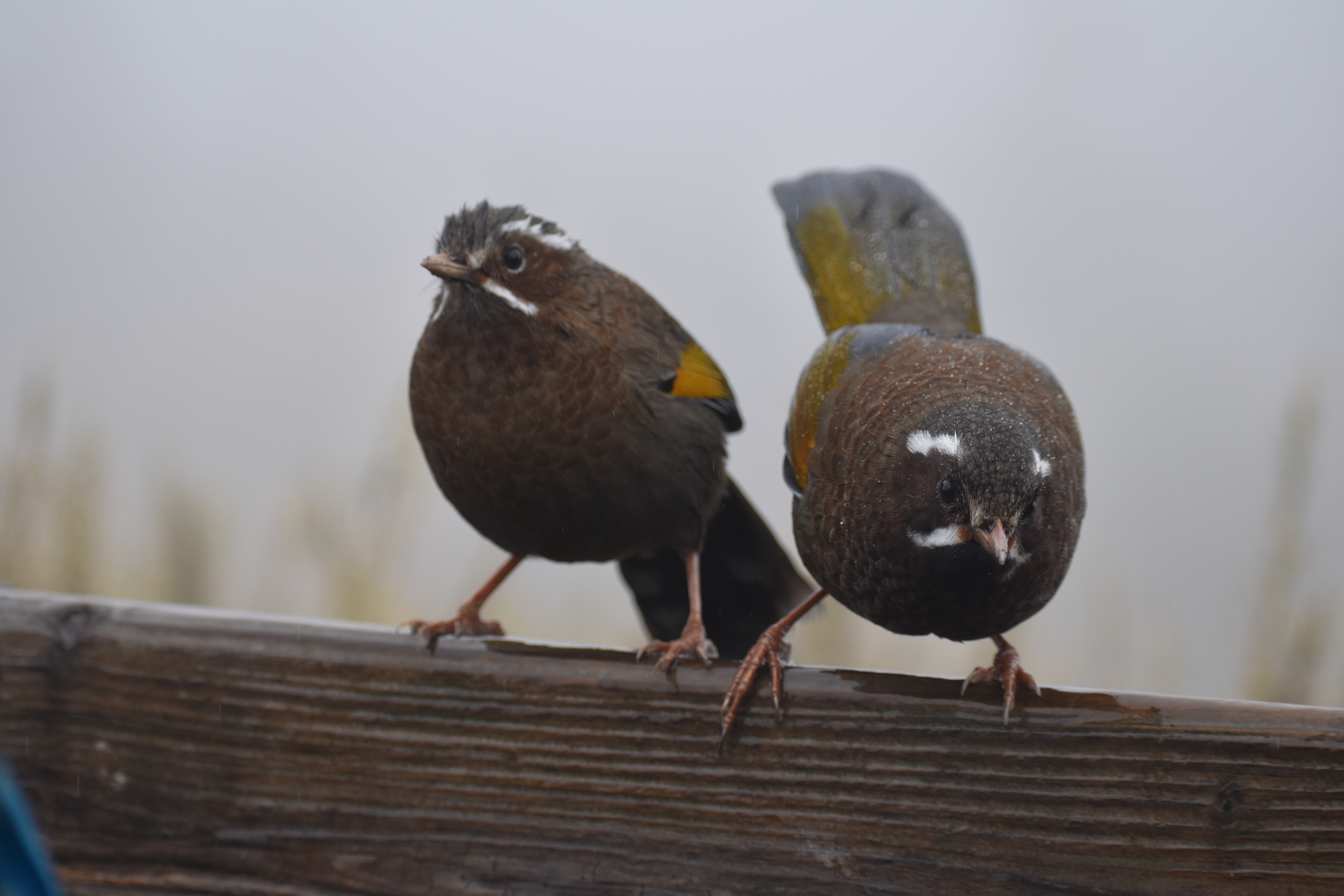
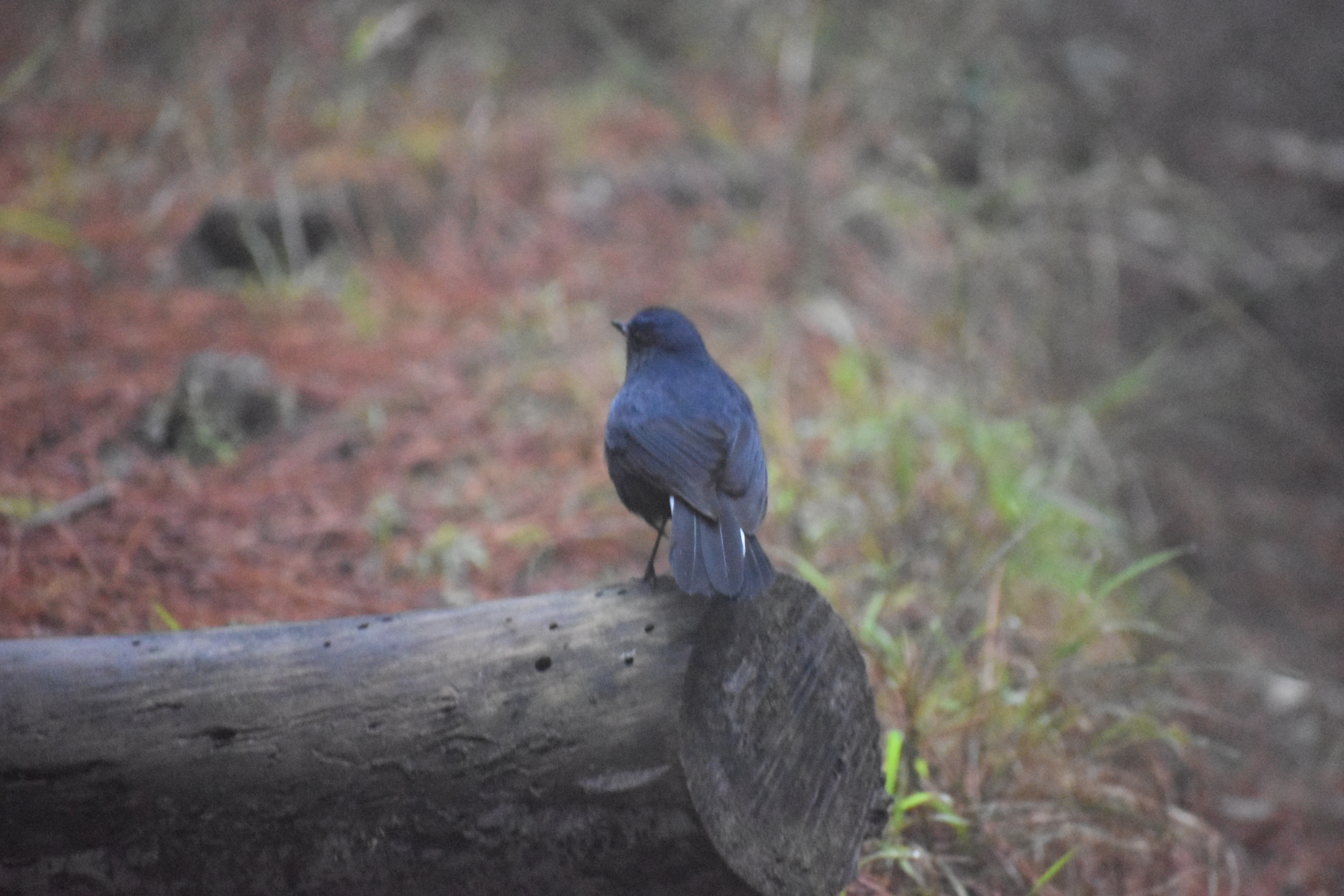
We put on our rain gear and continued to Sanlinju (369) hut located at 3100 m (10170 ft). We had 6 km remaining. 7.1 km trail didn’t seem like much but it was difficult due to lack of acclimatization and steep terrain. My pace was painfully slow. On our way to the hut we stopped to snack before the crying slope and two little birds though beautiful lacked the manners and harassed us for crumbs. It was our first encounter with a famous Formosan laughing thrush (scientific name: garrulax morrisonianus).
At 4 pm we finally reached the hut.
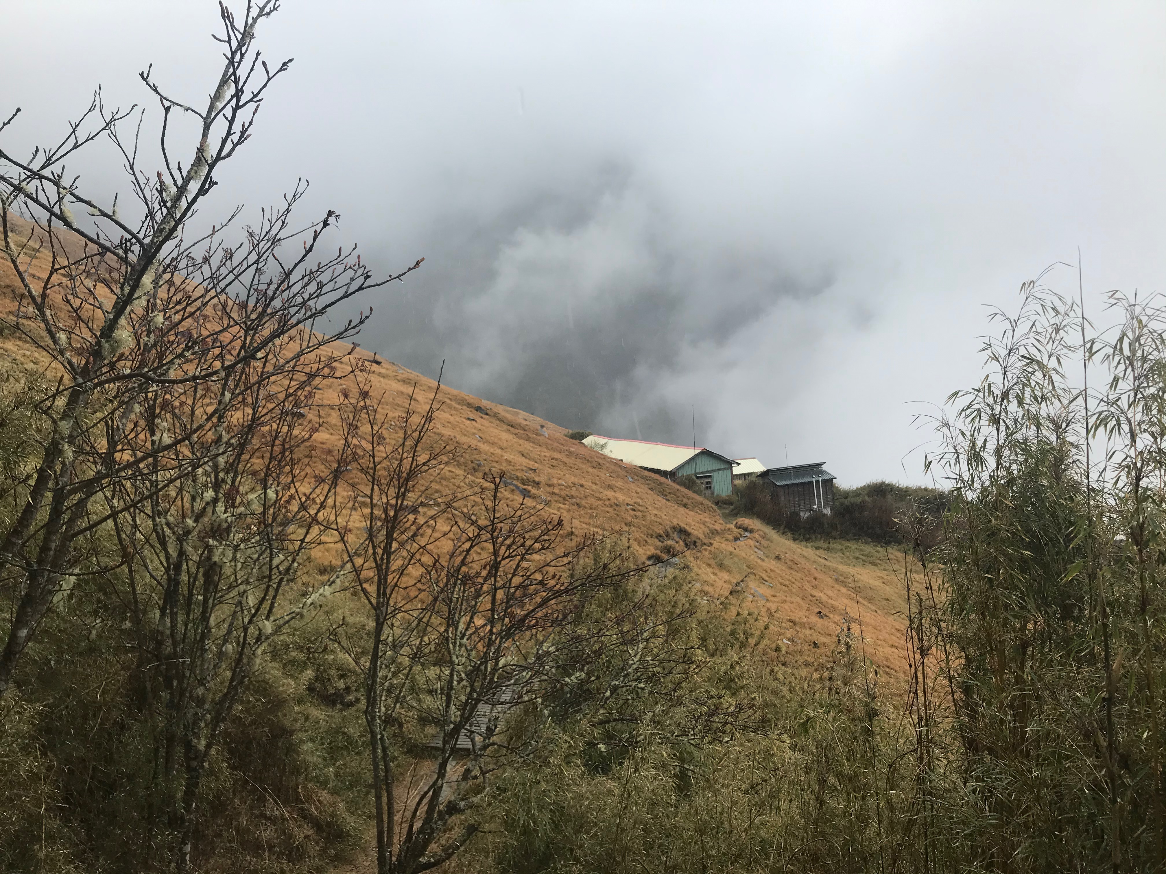
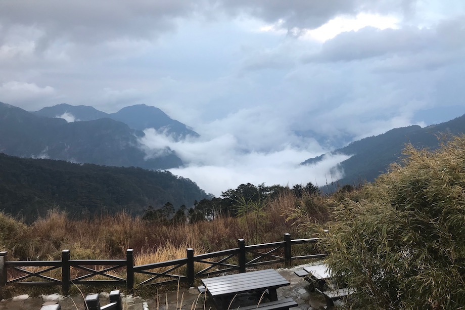
The view from the porch was limited. We met our newly acquired friend - hitchhiker - and chatted for an hour or so. This time we talked about nature, traveling and a hut etiquette. We cooked our camping Japanese dinners, made high-mountain oolong tea and had shortbread cookies for dessert. It was cold and raining. The food was delicious and comforting. People kept coming into the hut well after the sunset. By bedtime the hut was nearly at its capacity. We slipped into our sleeping bags right after the sunset. I read a few pages of my book and attempted to fall asleep, in vain. People kept walking back and forth, turning around. I was feeling altitude sickness and my head was pounding from a throbbing pain. After hours in my sleeping bag I finally took paracetamol. It helped to alleviate the pain and I fell asleep. Perhaps due to lack of sleep, constant stress over the virus for the last two weeks and finally altitude, I had the worst nightmare that night. I screamed in my dream and woke up a few people. Nico woke me up and asked whether everything was fine. I couldn’t sleep much after that and quietly waited for the morning to come.
Day 2: 2020-Apr-09
Sanlinju (369) hut @3100 m, 3.76 km, 3-4 hr > Xueshan Peak (雪山) @3886 m) > Sanlinju (369,三六九山莊) hut @3100 m, 3.76 km >Xueshan Trailhead @2190 m, 7.1 km (36 degree upwards)
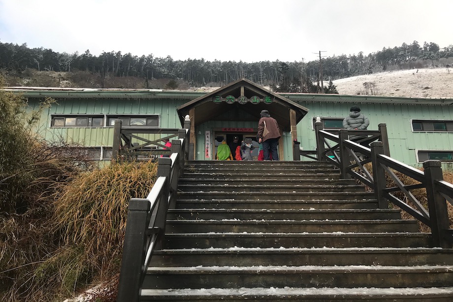
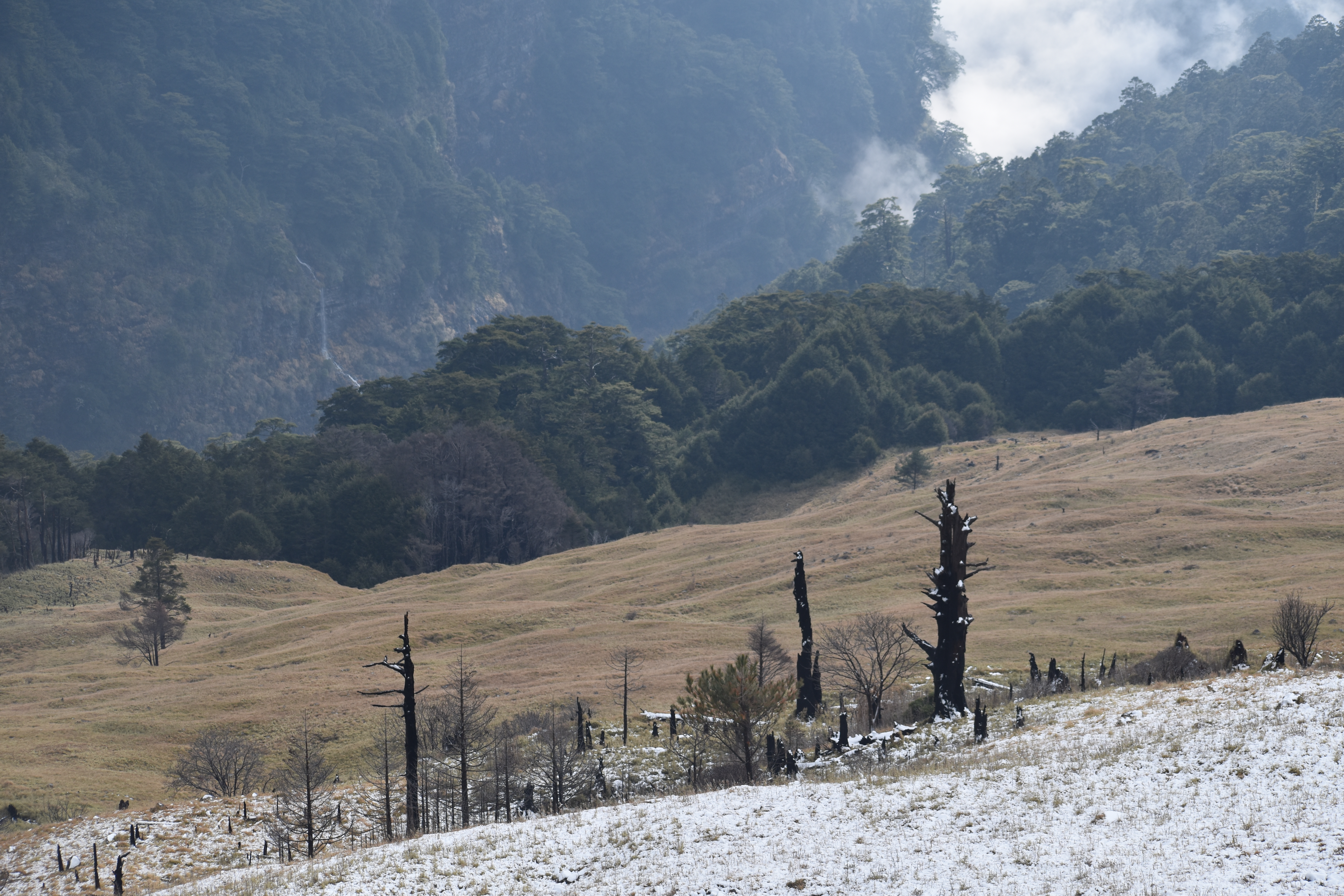
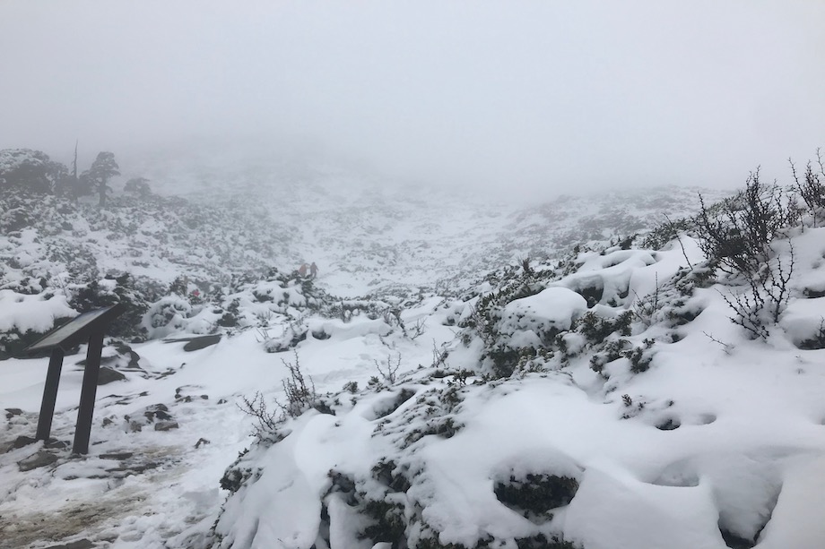
We woke up at 5:51 am. Most of the hikers were up and jolly. I looked outside the window. It was white outside. Evidently, last night’s rain turned into fresh snow. The views opened up and I could clearly see the cirque and the surrounding mountains. I hurried Nico to wake up. He was not very eager to follow the crowd. Only after I reminded him that the rain (or perhaps snow?) showers were forecasted in the afternoon did he finally get up. By the time we made our way outside most of the hikers had already had breakfast and were taking pictures of the exceptional views. The snow coated the porch overnight and someone even made a little snowman! We spent a few minutes enjoying the views.
Groups of hikers were slowly leaving one by one. As we later learned it is customary for Taiwanese to wake up and start hiking early, usually with enough time to catch a sunrise at the destination. The hut was getting empty and we had a feeling that we were running late to start our day. We only had 3.9 km to hike to the top of Sueshan (Snow mountain) and another 7.67 km to the Suyebey hut. We split our morning activities to expedite our departure. Nico went to the kitchen to prepare our breakfast while I packed our gear. We were the last ones to leave the hut for the peak. Few people stayed behind as they didn’t feel well or were not compelled enough to do the grueling hike. Our Taiwanese friend had already left when we woke up. The trail started with steep switchbacks dusted in snow and offering sweeping views of the Xue mountain range.
After 1 km we entered the Black Forest (黑森林) called such for the high density of the trees - the canopies cover 60% of the sky.
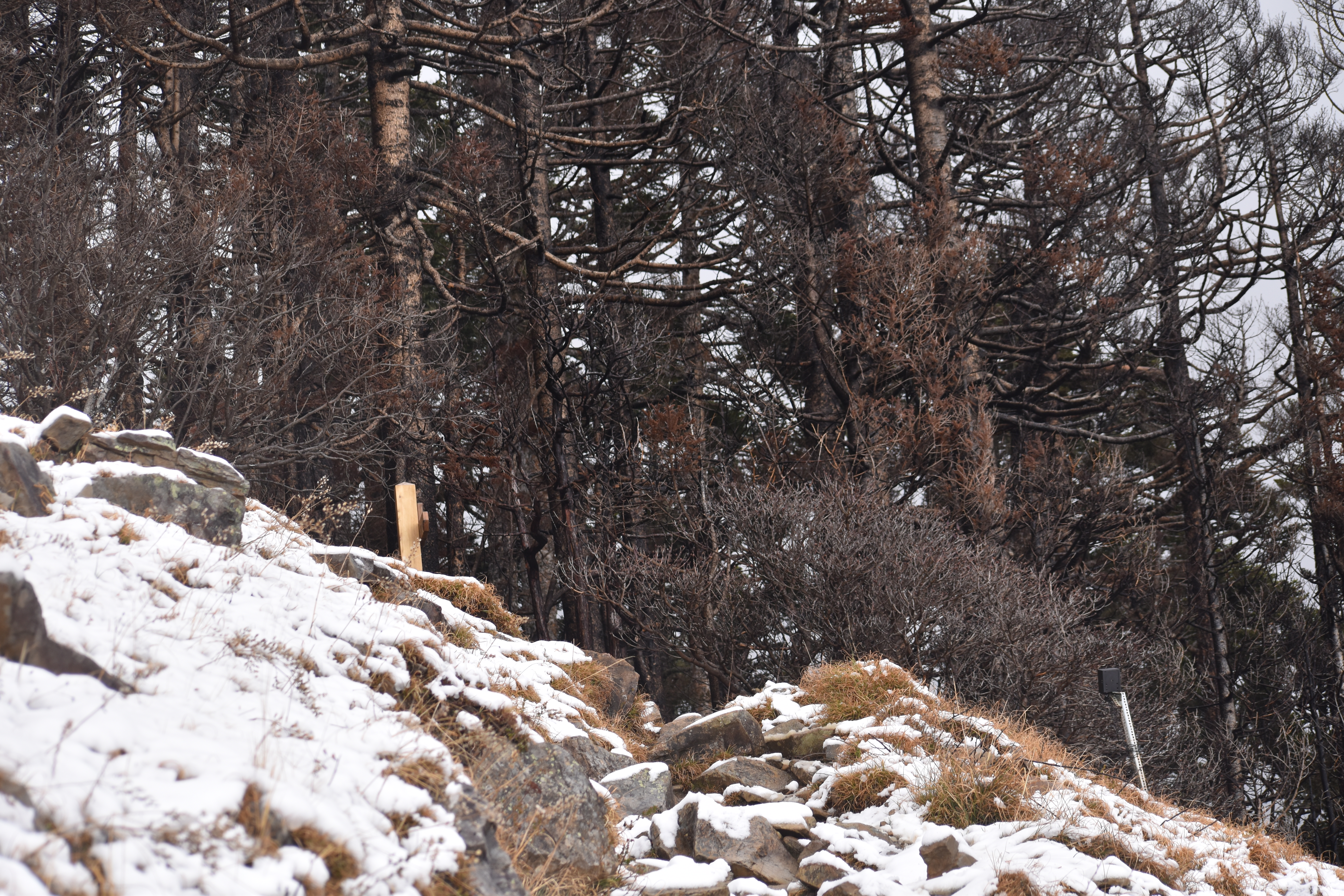
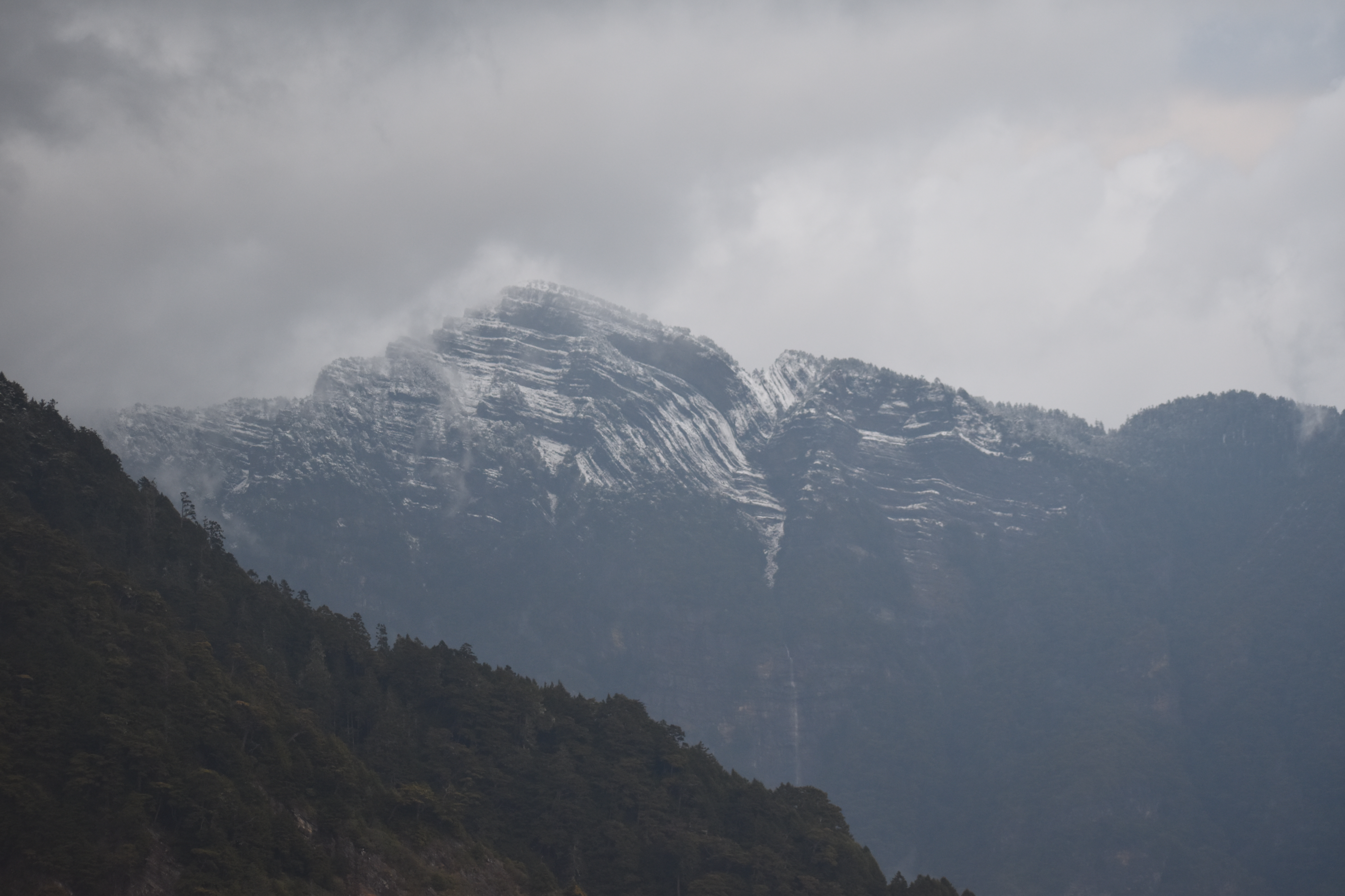
It is primarily covered by Taiwanese fir trees (abies kawakamii) some 100 - 200 hundred year old, found only in Taiwan and considered one of the southernmost true fir trees [footnote - https://en.wikipedia.org/wiki/Abies_kawakamii]. Walking through the forest we were also fortunate to enjoy the views of another rare and endemic species of Taiwanese flora - a Taiwan or Formosan mountain ash (sorbus randaiensis). It is said that its leaves turn bright red in deep autumn illuminating the path with beautiful foliage colors for the lucky hikers. (picture?) As we continued our climb up, the snow started to deepen. In the middle through the forest we met our Taiwanese friend walking back. It was nice to see a familiar face and we chatted for a few minutes. She was walking back without attempting the final climb to the Peak. She said that she was not well prepared for the trail conditions this time and would come back to do it another time. I was frankly surprised to see her turning back as she was dressed for the weather and the snow, though was deeper than we anticipated, was not bad at all. The trail through the forest was pleasant and rather mild in altitude gain. We ran into several groups playing in the snow, a rare occurrence in Taiwan. We were a little bit more than 1 km away from the summit and at the moment it seemed an easy target to reach. Shortly after we got out of the forest and were greeted to a view of the mountain peak full of snow and no obvious path towards it. An easy target turned into a gruesome two hour hike. The real climb was ahead of us starting at the weather station, at 10.1 km mark. Only then did I finally grasp why our Taiwanese friend was intimidated by the trail conditions.
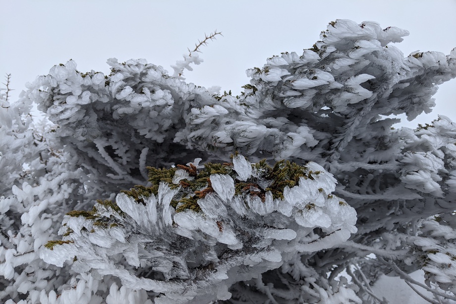
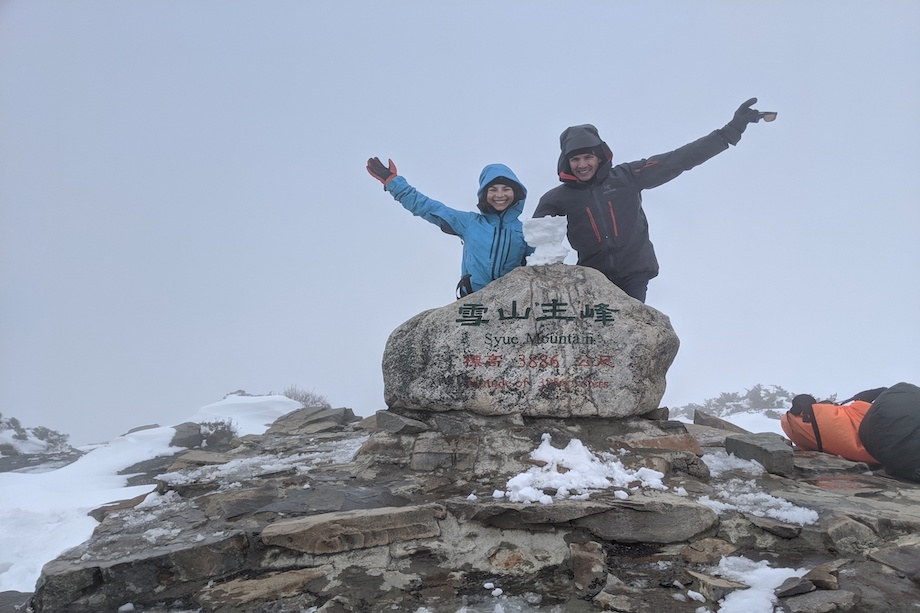
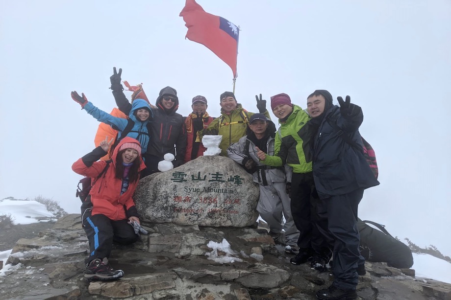
The last km was steeper than any other section on the trail (∠25-36°) and the rest of the path to the summit was buried under the sick layer of fresh snow. Most people were turning back. Only one guided group proceeded ahead. We decided to continue to the peak undeterred. It was not the first time we were hiking in less than ideal conditions. The trail seemed safe for the time being. We caught up with the Taiwanese guided tour and decided to follow them and they were kind enough to adopt us. The guides knew the trail by heart. We were the only group that day to walk the trail. There were no fresh snow tracks in front of us. With knee-deep snow we at times walked on top of the bushes, uncovering recently formed flower buds on rhododendrons. It would have been astounding to be there in 3-4 weeks after our summit day when rhododendrons would be in full bloom. Our speed was less than 0.5 km per hour. It was cold and getting colder with each step. Sick fog was rolling in. Altitude, deep snow and freezing air made it difficult to proceed. Finally we heard happy cheers of the first few hikers who made it to the top of Snow mountain - the second highest peak in Taiwan - at a proud 3886 m elevation leaving true to its name. It was an achievement buried under the snow and covered in a deep cloud of fog and we were right in the heart of it. We could see nothing but the happy faces of our fellow tired hikers. After two hours hiking with the group we felt as a part of it. We exchanged happy emotions and took a few pictures together. The two of us were the only tourists on the mountain and a curiosity to the rest of the group.
Our original plan was to proceed to Xuebei hut (雪北山屋), however, we could barely see few meters ahead of us let alone trying to find a ridge trail buried under the snow. The fog was getting thicker. The guides advised us to turn back. It was definitely not safe to continue: we had no winter safety gear with us and I was feeling altitude sickness. We turned back to the hut. The way down was much easier, though slushy. Back at the cabin we finally had our lunch and enjoyed a break from freezing cold temperature. The thought of staying one more night in a busy hut and catching up with our original route tomorrow was painful. Not only I felt sick but I was not comfortable to continue hiking in rough winter conditions without any winter gear. Some parts on our route required cords which we didn’t have either. We underestimate Taiwan hiking. We decided to go down the valley and find a cozy place with a warm bed, explore the valley and then catch up with the last two days of the planned trip.

